 The Bell
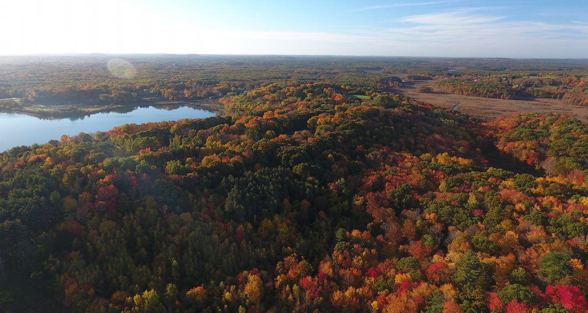
Drone Takes Biology Research to New Heights
I was given the remote control to what seemed to be an adult version of a toy helicopter. When I looked at the iPad below, I noticed real-time imagery, as well as the GPS-tracked height and distance of the quadcopter drone slowly ascending above the quad, Chase Hall, Bromley, Ken Olsen Science Center and Jenks Library. This photographer’s dream was going for a tour around campus.
Yet, the drone in Professor of Biology Dr. Greg Keller’s possession happens to have a more substantive purpose. Keller has been using the unmanned flying device for his research with students, and, of course, to snap a few aerial shots of campus while they’re at it.
 “People have very specific things they think when they hear the word ‘drone,’ given its use in the military and other applications,” Keller says. “But this is a quadcopter that has a phenomenal high-definition camera on it. It allows me to see things that I couldn’t see otherwise.”
For his Landscape and Geographic Information System class, Keller has been able to see the configuration of the landscape in the eyes of a bird migrating or a mammal dispersing from one place to another. A student in the class, biology major Zoe Davis ’18, said, “Although the controls took some getting used to, it felt much like playing a live action video game. As I cruised the drone over campus, it allowed me to see the campus landscape in a way I never could with the naked eye.”
While Google Maps and government satellites provide detailed landscape imagery, the drone allows Keller to see what the world looks like in real-time. He used the summer’s severe drought as an example. Relying on the antiquated satellite imagery that does not show the recent conditions would mean missing species activity during this anomalous time.
One of Keller’s summer research assistants, Josh Spoonhour ’17, said, “You immediately are able to shift your perspective to the larger scale, and take into account many other landscape features that might have been missed otherwise.”
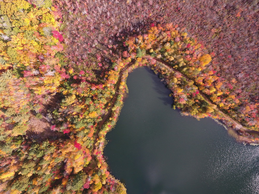
This enhanced view of the Gordon Woods, for example, enables Keller, Spoonhour and others to see how birds respond to different edges, where a forest borders a wetland, residential site or a cultural land. The drone also allows the researchers to go back to a specific tree as a center point for landscape analysis, detailed enough to detect individual leaves. Tying birds to these nuanced habitat features has only been possible with a drone.
Wenham isn’t the only place graced by Keller’s drone. During his yearly visit to Belize for a project on migratory bird habitat use, he introduced the drone to tropical landscapes.
“One of the big things I study there is, ‘How do they respond to hurricane damage?’ Well, they were just hit by a hurricane, so I can send my drone up and get immediate views of the extent of hurricane damage and then try to understand how birds I’m serving right now are affected,” Keller said.
On a local scale, Keller, with his drone, is investigating the possible ecological impact of removing the lily pads that provide habitat in Coy Pond. His goal is to best serve the campus and its aquatic creatures that call the campus’s signature pond home.
By Dan Simonds ’17, communication arts